
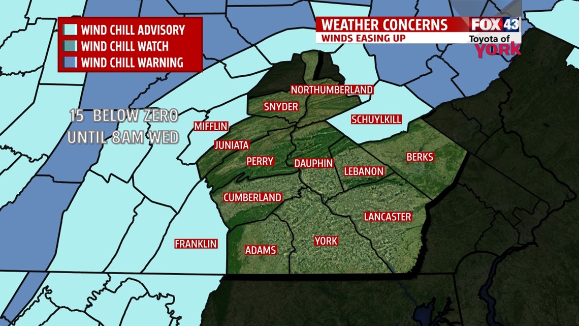
WIND CHILL ADVISORY IN EFFECT UNTIL WEDNESDAY 8AM FOR MIFFLIN, FRANKLIN AND SCHUYLKILL COUNTIES.
With the winds, wind chills are still likely to reach -10 to -15 below zero. They should begin to die down overnight.

BROKEN RECORDS TODAY
Morning low: 0° a new record breaking the old record of 5 set back in 1942.
Coldest High Temperature: 10° a new record breaking the old record of 16 also set in 1942.
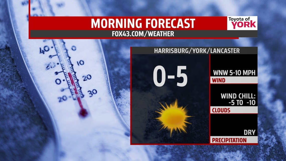
ANOTHER NIGHT OF SINGLE DIGITS
Mainly clear skies and easing winds will allow temperatures to plummet to near zero tonight. The record in Harrisburg is 0° and we will come close with a forecast low of 3°. Winds will be westerly about 5 to 10mph and that will still create wind chills below zero.

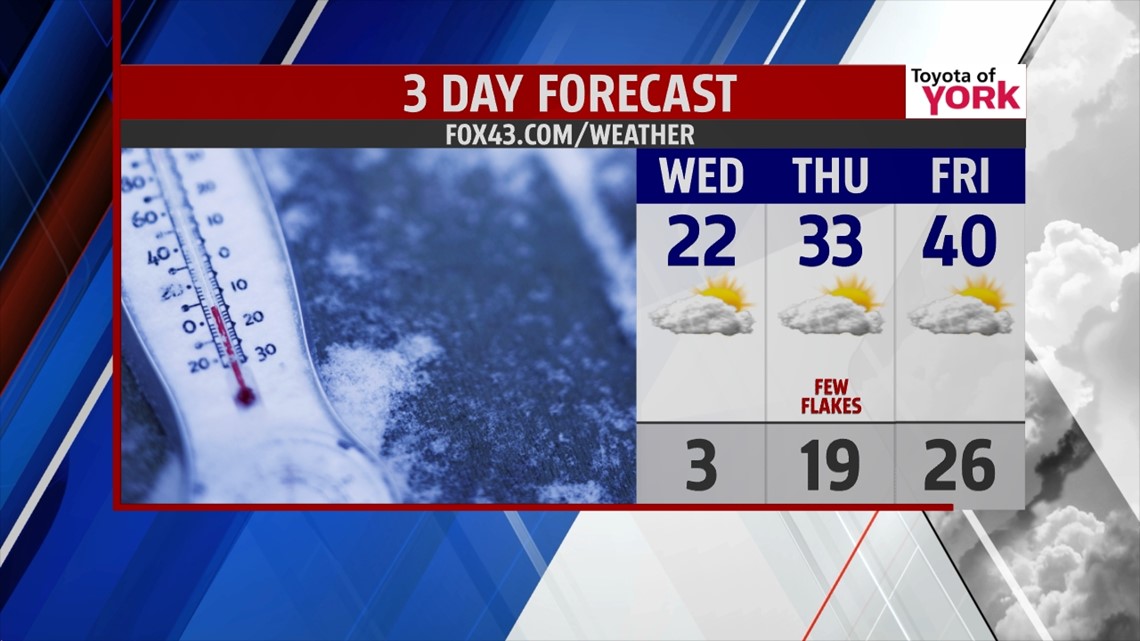
GRADUAL WARMUP
High pressure to our south will pull in milder air as the flow shifts to the west-southwest. Clouds will increase in the afternoon diminishing the sunshine a bit and slowing the warming process but highs in the low 20s will be much better than today. Thursday, despite mostly cloudy skies and a few flying flakes, highs will finally recover to the lower 30s.

WEEKEND WARMTH, HURRAY!
We are looking at much milder temperatures for the weekend with highs in the 40s and perhaps even 50 by Sunday. With the warm up comes the threat for rain showers Saturday but Sunday looking to be dry. Monday it looks as if there could be another threat for showers but with temps in the 40s, they will be rain showers not snow showers.
Please stay warm and remember your pets!!!!
MaryEllen Pann, Chief Meteorologist
Like me on Facebook: maryellenpannfox43
Follow me on Twitter: @MaryEllenFox43