
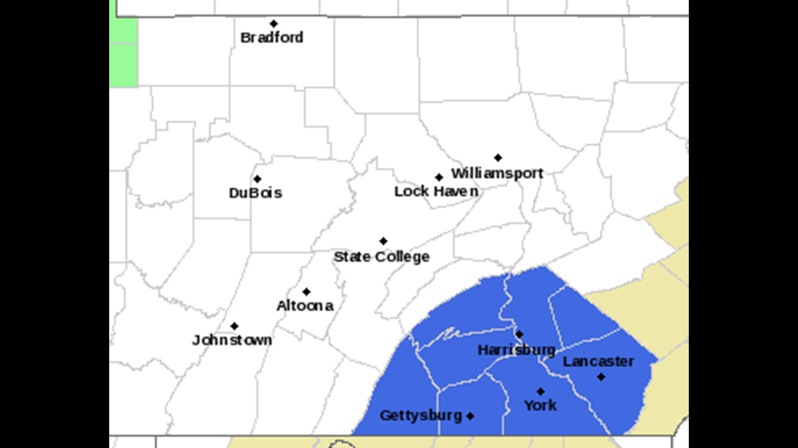
Clear skies, calm winds and high pressure overhead will lead to a very cold night with temperatures dropping to the low 30s. The record is 30 at the airport. The National Weather Service has issued a FREEZE WATCH for tonight into tomorrow morning. Make sure to cover sensitive vegetation so they are not damaged.

COOLER, DRIER FOR THE WEEKEND
High pressure and cooler air moves in over the weekend. Few clouds will mix in and out of sunshine and highs will be cooler and below average in the upper 50s to around 60 Saturday. High pressure moves overhead, winds calm and with clear skies, lows will drop to the near freezing or below for Sunday morning. This will result in a concern for widespread frost.

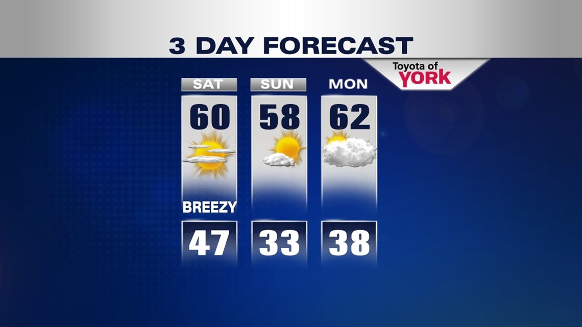
CLOUDS AND SHOWERS RETURN
Monday starts of chilly in the 30s and clouds will be in abundance due to a southeasterly flow. Highs should get into the low 60s. Tuesday looking at sunshine mixing with some clouds, maybe an early sprinkle or shower, otherwise, the day will remain mostly dry with highs in the low 60s. Wednesday the next frontal system approaches with a better chance for widespread showers. Highs will be mild ahead of the front in the mid 60s.
MaryEllen Pann, Chief Meteorologist
Like me on Facebook: maryellenpannfox43
Follow me on Twitter: @MaryEllenFox43