
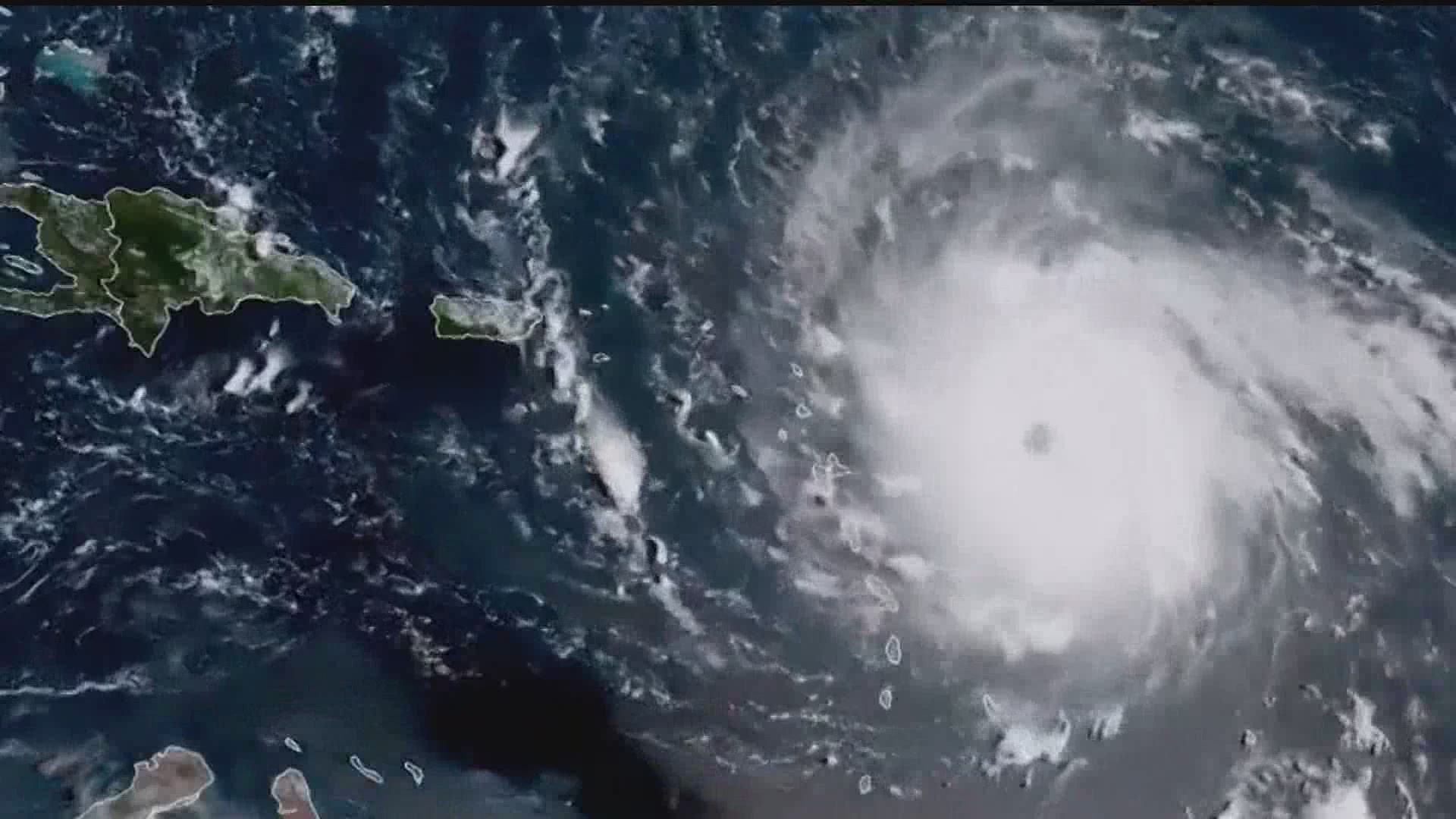
As the Atlantic hurricane season continues, forecasters are using new data from satellites after updates to the JPSS and GOES systems.
JPSS stands for Joint Polar Satellite System. According to NASA and the National Oceanic and Atmospheric Administration (NOAA), JPSS gathers global measurements including, but not limited to, sea and land surface temperatures, vegetation, clouds, rainfall, snow and ice cover, water vapor and more at high resolution.
These measurements can help improve hurricane forecasts in real time.
"These satellites provide snapshots of temperature and water content in these storms at really high resolution," Chris Slocum, a NOAA scientist said.
GOES, or Geostationary Operational Environmental Satellites, handle a lot of high resolution data as well. In some cases, we even use data contours gathered by GOES and show it to you in the Weather Smart forecast!
"The GOES series went through an upgrade basically going from a black-and-white TV to an HD TV," Slocum said.
GOES is the nation's most advanced fleet of geostationary weather satellites, according to NOAA. They circle Earth at a speed equal to its rotation to maintain position over the Western Hemisphere. Its existence helps increase severe thunderstorm warning lead time, better hurricane forecasts and track things like smoke, Saharan dust, ice particles and more in the atmosphere.
And all of this data helps make for better forecasts overall. Combine the JPSS upper-level data, the GOES mid-level data and the famous Hurricane Hunters, and you get a full real-time picture of how an Atlantic storm is operating, while gathering better information on how it could further develop.
"We're able to detect the types of water particles at the cloud top of the storm. That type of data tells you a little more about what's happening below. We start linking that with what we're seeing at flight level. You have flight level, you have middle of the storm from lightning data, you have the top of the storm from satellite information," Slocum said. "It's combining all of that information together to get a better picture overall of what's happening in the atmosphere."
And it helps every day forecasting as well.
"Satellite data refreshes more quickly, so you can be alerted to a severe storm that isn't showing up on radar yet and you have that information available now," Slocum said.
You can find more information on the satellites on NOAA's website.