

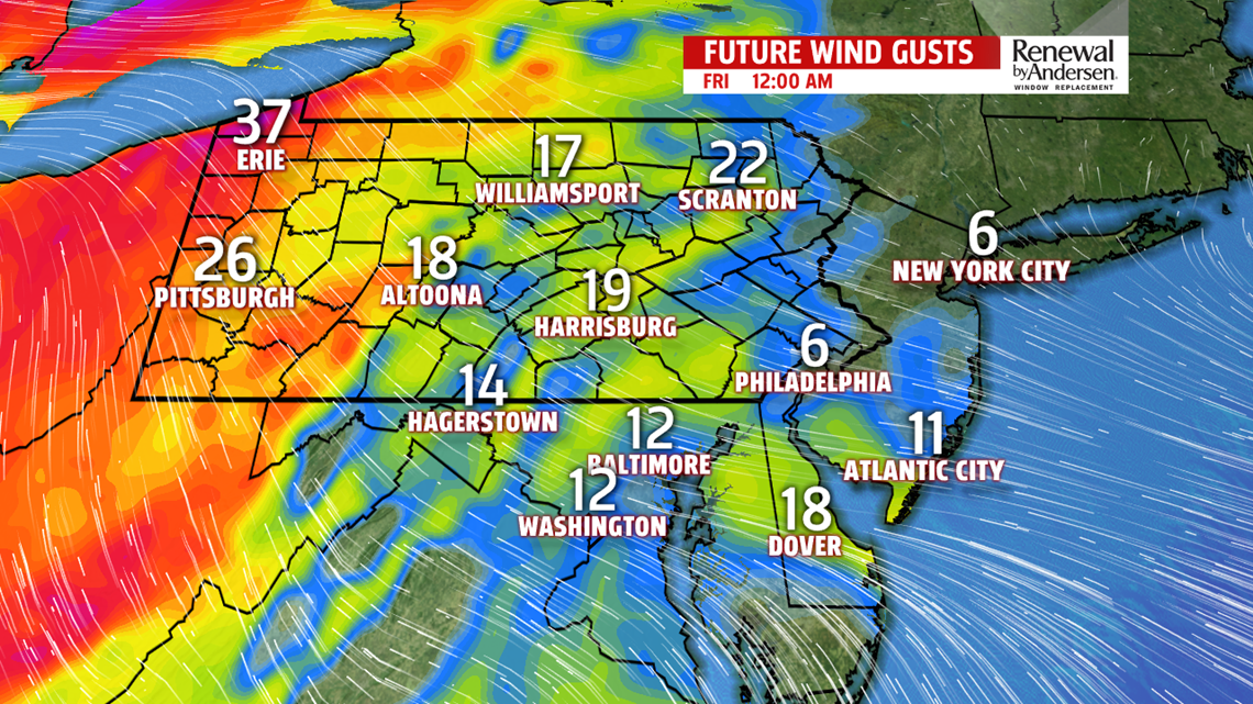
GETTING WINDY: After another day near 60, increasing clouds take over heading into Thursday night. Winds ahead of our storm system switch directions to out of the southeast, and eventually the south, gusting to 20-25MPH Friday morning. Morning lows in the 40s will be the norm area-wide. Wind gusts increase to near 30MPH as thunderstorms begin Friday afternoon with another round Friday night and Saturday morning.
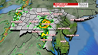
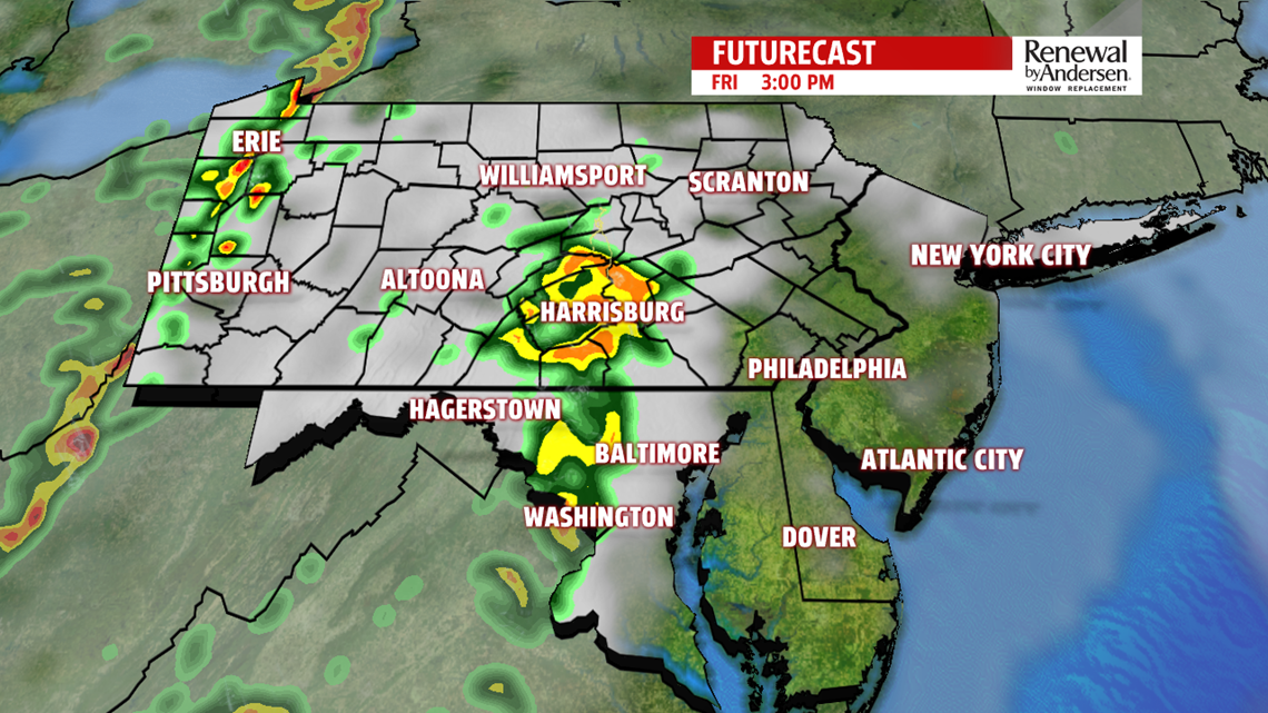
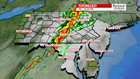
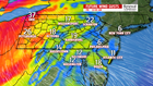
FRIDAY STORMS: Thunderstorm activity starts in the early afternoon. A few isolated showers and rumbles of thunder could pop up ahead of the main line as early as 2PM. Take the umbrella to work for your ride home. Off/on showers and storms persist until the main line arrives in the late evening.


Widespread showers and thunderstorms persist with occasionally gusty winds into early Saturday morning. As the front pushing through slows down and loses energy, a few straggling showers could hang around a little later into Saturday morning.


SPLIT WEEKEND: We eventually dry out and see some sunshine Saturday afternoon. Highs reach the mid-70s with partly cloudy afternoon skies. Another shower chance comes in Sunday, limiting temperatures into the mid-60s with mostly cloudy conditions and morning lows in the 50s. Showers persist into Monday morning before drying out and staying warm into the middle part of the week.
Stay “Weather Smart” with the FOX43 Weather Team all week long!
-Meteorologist Jessica Pash
