

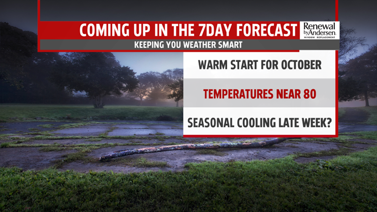

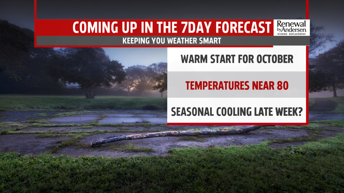
FINISHING THE WEEKEND WARMER: The trend for warmer afternoons and mild nights is in store for much of the week ahead – making it feel more like late summer, rather than the first half of October! We should see more peaks of sunshine on Sunday which will help our afternoon high temperatures slide up to around 80 degrees. Our normal high temperature for this time of year should be closer to 67 degrees. A few stray showers or thunderstorms are possible late Sunday evening/night. Sunday night we are down to a mild 66 degrees.
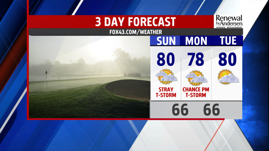
BACK TO THE 70s and 80s: High pressure over the eastern seaboard will influence much of our atmosphere through midweek. Warm, moist air from the south works it way into south-central Pennsylvania bringing a chance for scattered showers or thunderstorms on Monday, with mostly cloudy skies and highs in the upper 70s. By midweek we are partly cloudy, still warm, near 80 degrees with overnight lows in the mid 60s. High pressure moves out and a cold front sets up to bring us back to fall-like weather for the latter half of the week… Clouds are on the increase Wednesday afternoon and evening ahead of this system which will likely bring a a few rounds of showers and storms on Thursday. Look for highs Thursday to only reach the low-to-mid- 70s. Behind the front, cooler, drier air moves in… Friday is partly sunny with highs in the upper 60s with an overnight low in the mid-to-upper 40s. The weekend ahead looks much cooler, just under seasonal levels in the low 60s.
Enjoy the rest of the weekend!
– Meteorologist Alan Petko
