


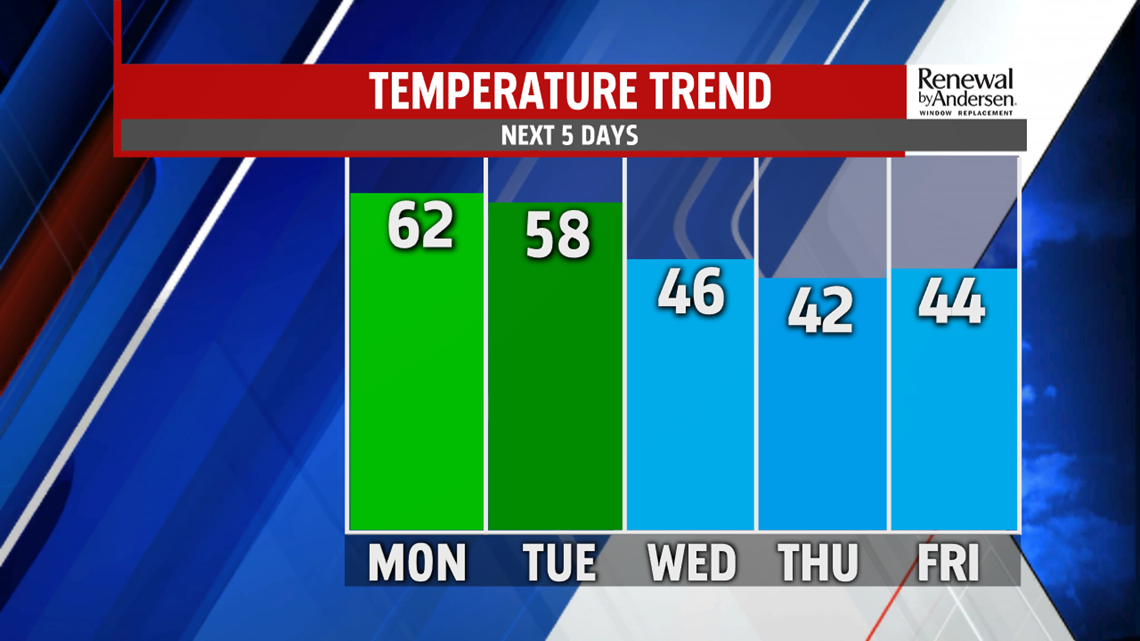

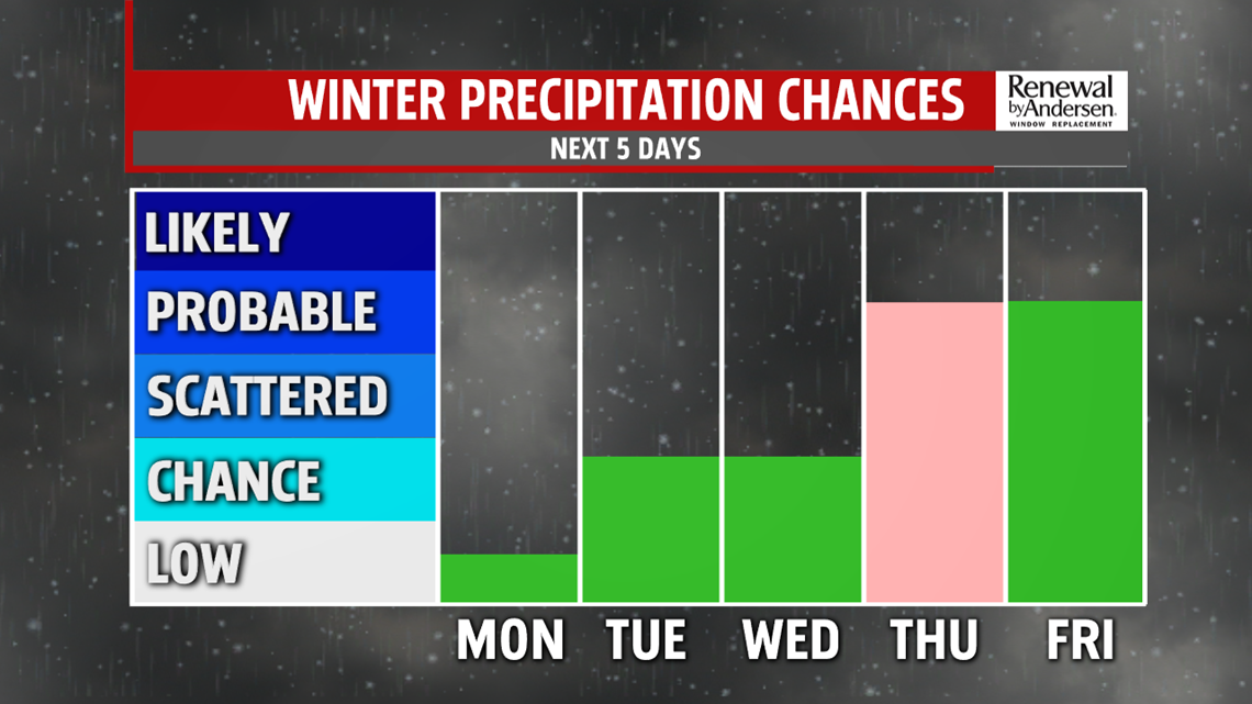
COOLING & UNSETTLED: Wednesday continues the chance for a few showers, and it remains mild. Temperatures are in the middle to upper 40s. This is still on the mild side for this time of year. Thursday brings the chance for more showers as temperatures start to turn chillier. There’s a chance for some mixing during the morning with sleet and/or freezing rain before becoming just a plain rain chance by afternoon. The best chance for this is in our north and northwest counties. Temperatures reach the upper 30s to lower 40s. There’s some indication this wintry chance could shift to Wednesday, with a milder Thursday with plain rain showers. We’ll watch this over the next 24 hours and tweak the forecast as necessary.
WEEKEND OUTLOOK: Don’t count winter out just yet—the weekend brings a return to the cold, and even a chance at some snow! Saturday starts with sunshine, but clouds increase during the afternoon. Highs are in the upper 30s to lower 40s. A weak system passes the area to our southeast overnight, and this is a track that favors all snow. The question is going to be whether or not this system tracks close enough to the region to bring accumulating snow. Stay tuned for updates as we closely monitor this potential. A few snow showers linger into early Sunday morning depending on the track of this system, but expect increasing sunshine through the morning. Skies are mainly sunny during the afternoon. Temperatures are in the upper 30s to near 40 degrees.
Stay Weather Smart with FOX43! Have a wonderful Monday!
-Andrea Michaels
