

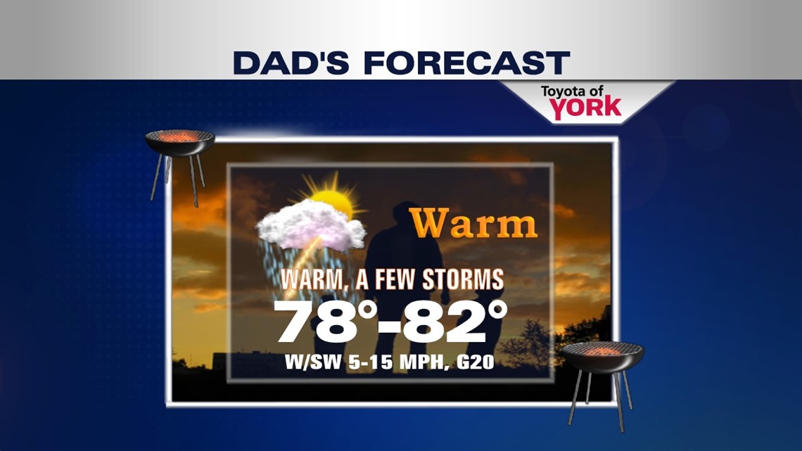
FEW STORMS FOR FATHER”S DAY

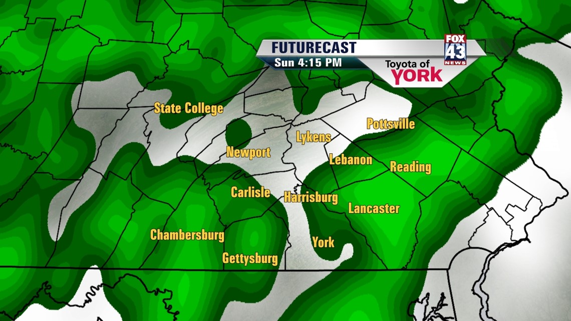
High pressure is making a brief stay across the region this afternoon. It begins losing its grip with the approach of our next frontal system through the overnight period. Clouds build tonight as a result. Most locations are near 60 degrees. Some of the normally cooler spots dip into the middle to upper 50s once more. The weakening cold front approaches the region Sunday. This means the first half of Father’s Day is dry with partly sunny skies. During the afternoon, there is the chance some showers and storms, especially west and northwest. High temperatures hover near the 80 degree mark. Enjoy it, dads!
STORMY START
Monday there is an isolated chance for a few thunderstorms. It looks to be a mainly dry day. Highs reach the lower to middle 80s. Another weak disturbance slides through Tuesday. This keeps the chance for scattered showers and thunderstorms in the picture. Highs are near 80 degrees.
SUNNY STRETCH
Sunshine settles in again by the middle of the week. Mostly sunny skies are expected Wednesday through Friday. We’ll be watching for the chance of a stray thunderstorm. For now, however, it’s looking dry. Highs are in the lower 80s. Saturday our next thunderstorm chance arrives. Highs reach the middle to upper 80s.
Have a great Father’s Day!
-Andrea Michaels